From Rathcarrick forest, you can follow Walk B of the Queen Maeve Trail, a 6.5k loop around Knocknarea, and join, at the car park near Primrose Grange, the traditional path to the top of Knocknarea. Another option would be to take Walk A of the Trail, which is a loop walk of about 2k that runs below the cliffs, passing above Rathcarrick House, to the western side of the mountain. From there you can climb up through the forest to the summit or down the path to the main Strandhill road at the Rugby Club and visit Dolly’s Cottage. The pink-coloured Rathcarrick House is a Georgian building that was once home to the Walker family, who held 1,500 acres in the 19th century.
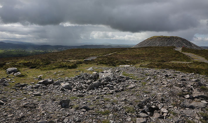
Robert Chambers Walker (1806-1854) considered himself a scholar and dug up many of the ancient tombs in the Coolera peninsula. He found cremated human remains and bones, pins of animal bone and pottery, including a 14-inch high burial urn from Carrowmore, which is in the collection of the Royal Irish Academy. However, he failed to properly record the results of his ‘digs’ so it is not always known where an item was found. Many of the artefacts he collected were later sold to the Duke of Northumberland though some were bought back by the National Museum of Ireland in 1990.
Walker was friends with many Irish scholars of his day such as John O’Donovan, Sir William Wilde and George Petrie. The Scottish writer, Thomas Carlyle, visited Walker and praised his ‘trim, fertile little estate, beautifully screened and ornamented’. His house is open to the public from June to August (see sign on gate) and the small, stone gate lodge still stands beside the road to Strandhill (L3503).
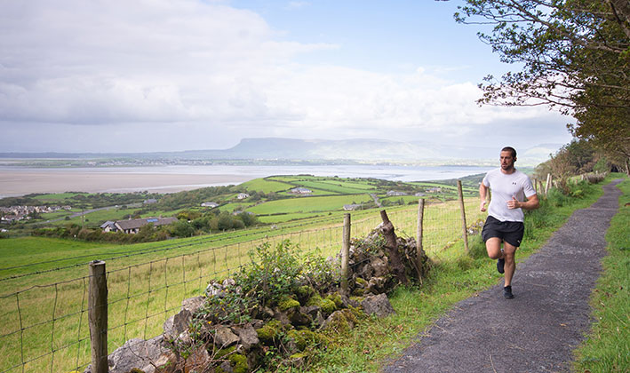
From the walking trail at Rathcarrick, Coney Island, Benbulben and, in the distance, Sliabh Liag, in south-west Donegal, one of the tallest sea cliffs in Europe, peep through the trees. The sea is always within sight.
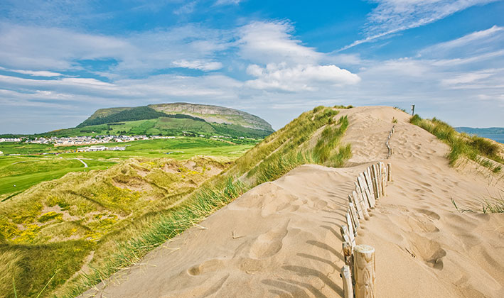
To the north can be seen Sligo town and the Garavogue river. The Garavogue estuary was a strategic crossing route into Connacht from Ulster from prehistoric times. Travellers crossed over the sands via Coney Island and moved along the Coolera coast to a crossing point into Connacht near modern Ballisodare. Today, Coney is an unspoilt island that can be reached by the pillar-lined path across the sands. Always go at low tide and return well before the tide comes in. Text ‘Coney’ to 51155 to check the safe tide times before you cross (available between April to end September).
FROM HERE YOU CAN:
- Take Walk A of the Queen Maeve Trail, which is a 2km loop walk that passes above Rathcarrick House with a spur to Dolly’s Cottage/Rugby Club to the west.
- Follow Walk B, a 6.5k loop around Knocknarea and join, at the car park near Primrose Grange, the traditional path to the top of Knocknarea.
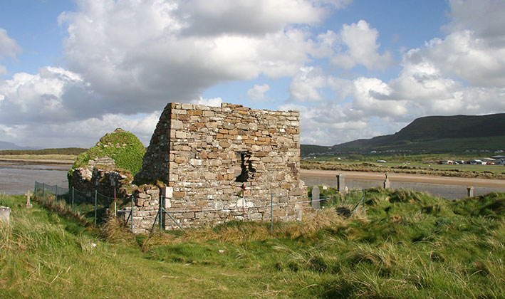
- Turn left at the public road and walk or drive to historic St Anne’s church (L3503).
Take happy memories with you but leave no litter and respect the ancient monuments. Watch out for other walkers and traffic.